
California Earthquake Hazard Map | California Geological Survey
It’s easier to see if you’re living in a California earthquake hazard zone thanks to a new interactive California earthquake hazard map.
Interactive Map of California Earthquake Hazard Zones
The California Geological Survey shared an interactive California earthquake hazard map online that allows you to see if you live in an area that is more prone to earthquake damage by entering your address or sharing your location.
In addition to mapping areas near earthquake fault zones, an easy-to-use map will also tell you if your home is more prone to liquefaction or landslides.
The three separate areas shown in the map all have one major hazard in common: buildings in these zones are more at risk for the ground to collapse (not just shake) during a major earthquake.
While these maps have been around for quite a while, they have never been user-friendly. Past publications have been rendered in newspapers or PDFs, but with this intuitive interactive map, you will find out if your home is at risk in a matter of seconds.
California Geological Survey’s Earthquake Hazards Zone Application (EQ Zapp)
This is particularly important for homeowners and commercial building owners alike.
“When the ground falls under an existing building, there is a higher chance that the building will collapse.” said Tim McCrink, Engineering Geologist for the California Geological Survey.
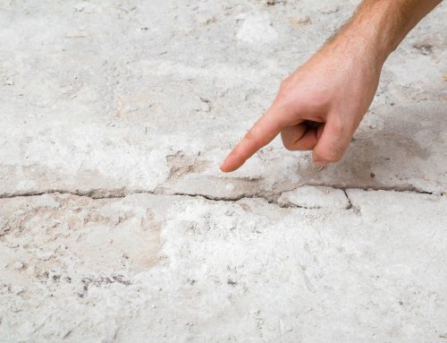
There are a few different factors that could contribute to a land break during an earthquake. First, if the fault breaks, the building that straddles the fault line can be split in half. Second, liquefaction may occur when the shaking of the earthquake causes the soil to fail, acting as loose sand or soil saturated with groundwater. As a result, any structure that sits on top of this type of ground will slide and eventually be pushed down. And thirdly, a landslide may impact a building that has been constructed using poor or obsolete materials that sits on a hillside. As a result, these buildings could collapse with severe shaking.

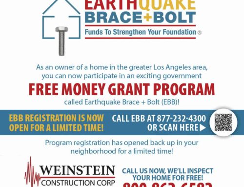
If you own property in one of these three earthquake zones, it is vital that you take all the necessary steps to strengthen your structure. Companies like Weinstein Construction specialize in the repair and refurbishment of foundations and earthquakes.
If you’re looking to purchase new properties, it’s critical to see which places are at the greatest risk of failure, liquefaction or landslides.
Interactive California Earthquake Hazard Map by Zip Code
“Knowledge is power,” McCrink added. “Before you purchase your house, before you build… do an inspection to see what the hazards are.” Weinstein Construction is a specialist in Los Angeles Foundation Inspection, Foundation Contractors and Foundation Reparation. Weinstein Construction has inspected more than 75,000 buildings, partnering with engineering firms and local construction and safety authorities. Weinstein Construction has performed more ground repair and earthquake retrofitting in Los Angeles than any other company in the area.
See if you’re living in the California earthquake hazard zone.